Optimization
for outdoor
campaigns

Overview
Great tool for planning and evaluating of outdoor campaigns placed on billboards and other media near roads and highways. We developed this unique product for our customer - one of the biggest advertising company in the Czech Republic.
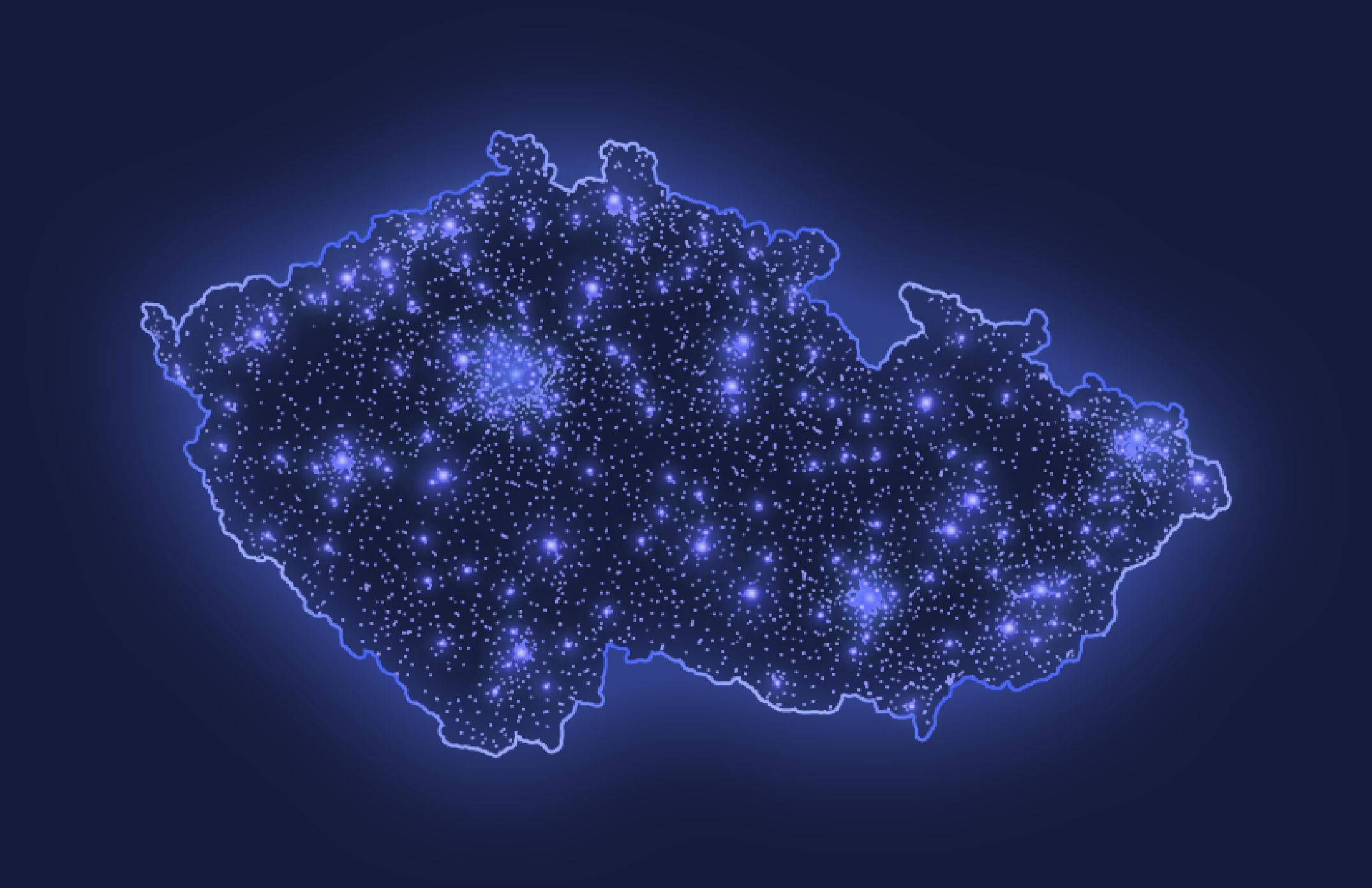
Fig.1: Density of BTS stations in the Czech Republic
How does it work?
At the most bottom layer there are data from our mobile network - these data are generated as consequence of customers movements’ along towers emitting mobile signal - these are called BTS. Network data then carry important location information - it is not precise GPS coordinate, but more rather ambiguous information on mobile phone position in certain larger area with indistinct boundary.
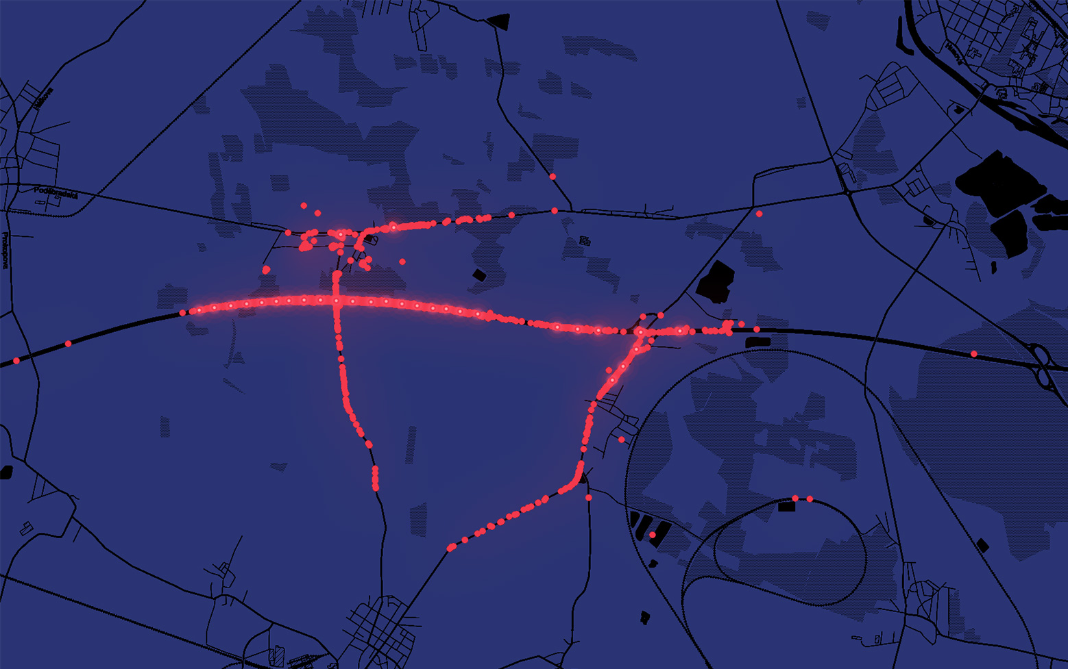
Fig.2: Road segments covered with one BTS
Predicting real entities
This process generates large dataset (terabytes of data) of messy and unprecise location records with lot of noise. We had to find a way how to predict each device trajectory and we call it simply map-matching. This process is a combination of GIS spatial analytics for preprocessing and machine learning techniques for estimating desired trajectory. In this context we are predicting real entities on transportation network like road junctions or road segments using Hidden Markov Model approach.
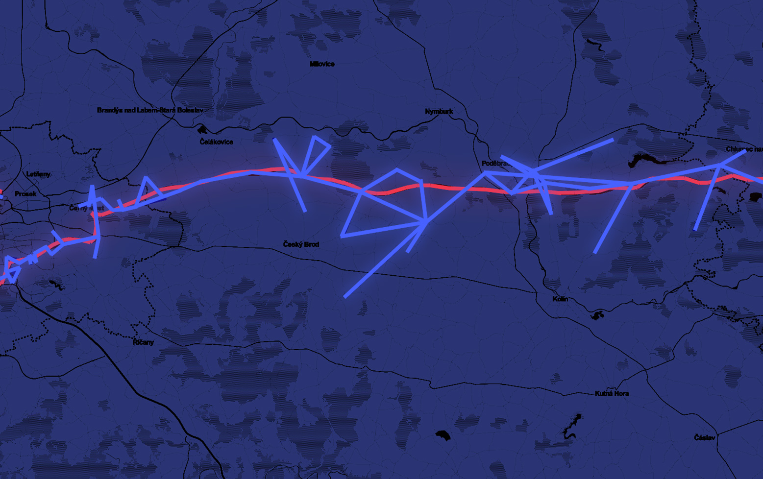
Comparison of raw network data with map-matched trajectory
Data driven mobility products
After that we are able to combine our data with billboards’ position and yaw and assign customers to billboards in space and time. On the top there is an application that enables to plan campaigns maximizing reach to unique customers. O2 Geodata is another product leveraging from geospatial models - it is customized analytics for measuring tourism, attendance in shopping malls or open-air events. All of these analytics are offered to third-parties only as aggregated statistics processed on customer base with consent.
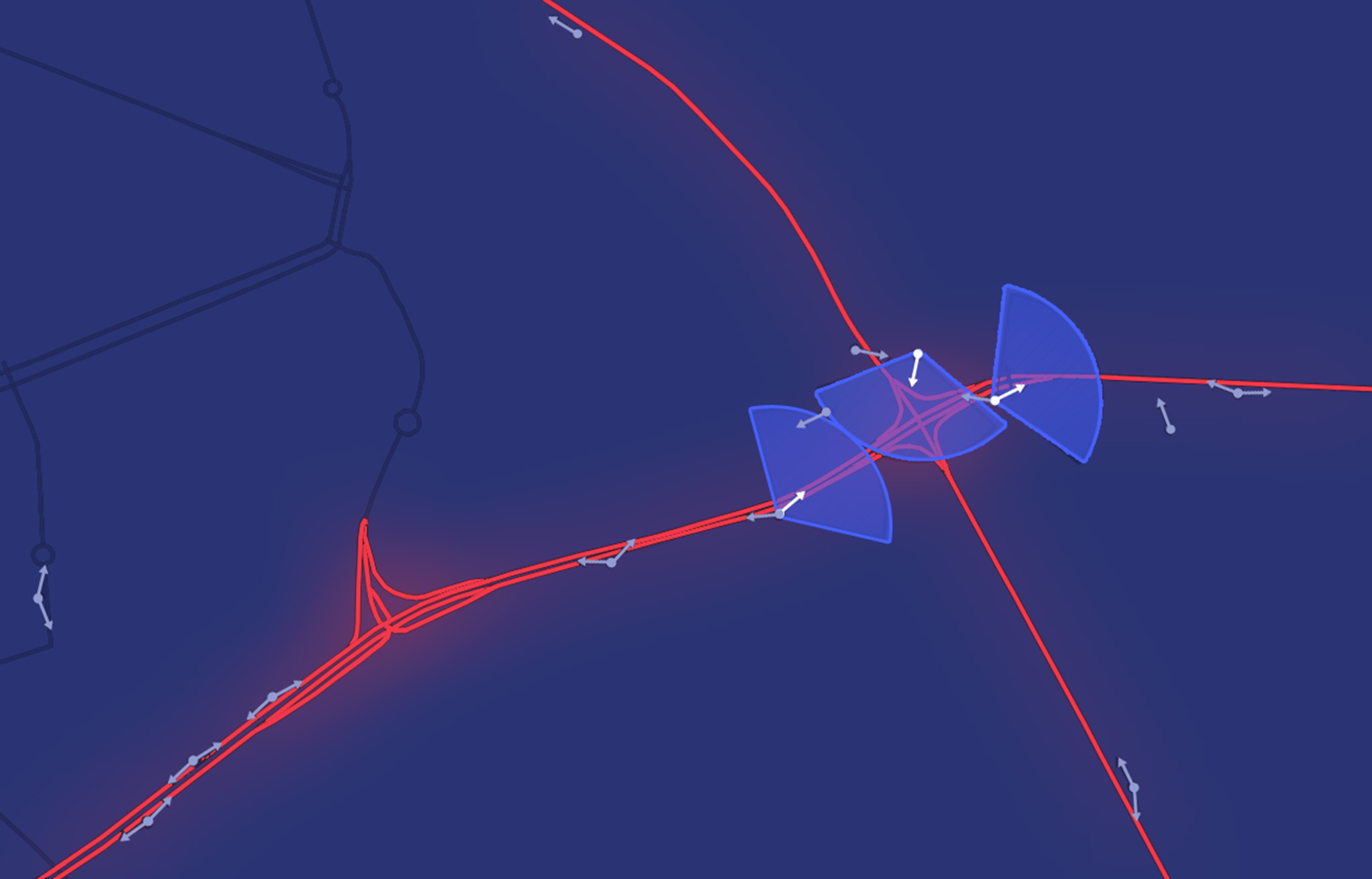
Fig.4: Joining road segments with billboards
